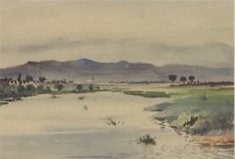
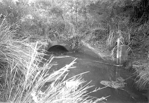
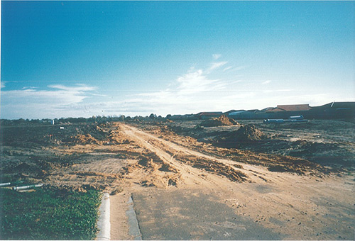
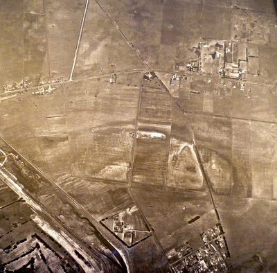
How amazing that humans can put their minds together and build entire rivers and lakes! Surprisingly when Patterson Lakes was first settled in the late 1800s, there was no lake at all! It all started when the Minister for works in the 1880s, James Brown Patterson, came to ponder on an issue with the area; how can we make this swampland useful? The banks of the swampland were eroding, the area constantly flooded and the water was becoming dirty and ruining the soil for farming. Mr. Patterson and his colleagues came up with an idea. Have you ever dug deep holes at the beach? If the tide won’t come in, how do you funnel water in and out of them? That’s simple, you say? You make a little river from the water to the hole. Now you’re thinking like an engineer. Of course, it isn’t quite so simple when you’re trying to change water levels in an area as big as a swamp, but the idea is still the same.
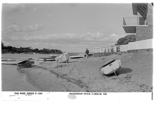
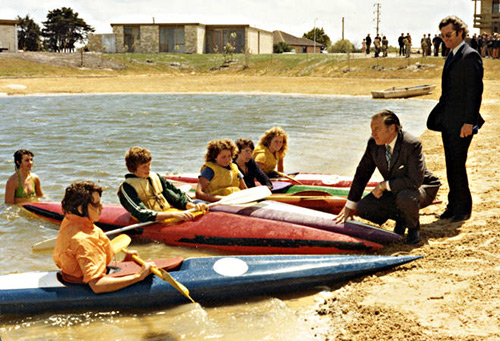
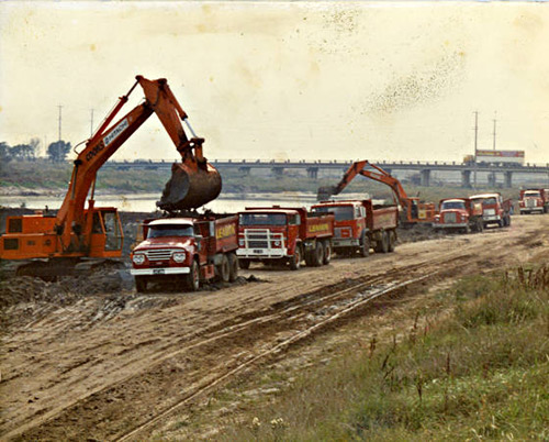
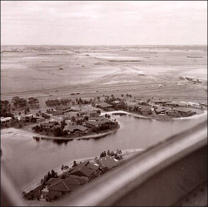
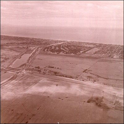
So sure enough the ‘Patterson Cut’ helped drain the swamp but the problems didn’t stop there. The area was still flooding and over the years (as you’ll see in Key events) and Patterson’s cut flooded to turn into ‘Patterson River’. So they went back to the drawing board and decided to dig deeper and wider, and use the sand they dug up to build higher banks. Now we move forward – it’s the 1970’s, and the transition from ‘Patterson River’ to ‘Patterson Lakes’ is underway. Because the land still caused issues for the residents, engineers came up with a solution – to create bigger, man made lakes. Although there were many people unsure of the outcome, they achieved their goal. Some lucky residents had the pleasure of now being able to paddle into Port Philip Bay right from their back yards!
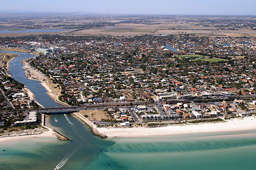
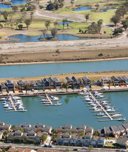
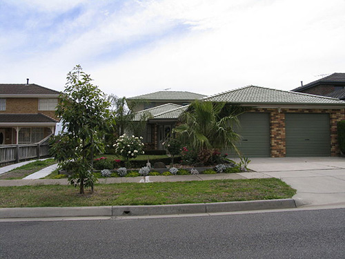
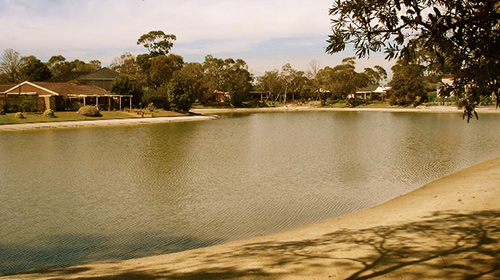
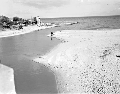
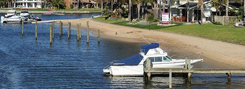
In the past 20 years, Patterson Lakes has been one of the fastest growing suburbs in Kingston. The area is mainly residential with canals and lakes. Patterson River is known for its fishing, with Bream and other fish found in the River, Tidal Canal, and its popular boat launching facilities. Lake Carramar, Lake Illawong and Lake Leguna make up the Quiet Lakes Region. Tidal Canal is the Canal that runs through Patterson Lakes with landmarks including Schooner Bay, Clipper, Mariners, Staten, Rhode and Barellan Islands.
Some Patterson Lakes quick facts have flooded in below:
- Patterson Lakes is bounded by the Patterson River, the Edithvale-Seaford Wetlands Environmental Area and an alignment between Puffin Close and Lord Rodney Drive in the North; the Mornington Peninsula Freeway, Thompson Road, Learmonth Road, Wadsley Road and the Mornington Peninsula Freeway in the East; the Eel Race Drain in the South; and Palm Beach Drive, Carrum Roy Dore Reserve, Myola Street, Beachcomber Court, Canberra Street, McLeod Street and Dahmen Street in the West.
- Parks Victoria manages Patterson River.
- The State electorate for Patterson Lakes is the Carrum District.
- The Federal electorate for Patterson Lakes is the Division of Isaacs.
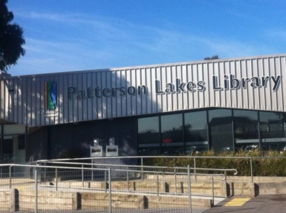
To discover more about Patterson Lakes click on the tabs above.