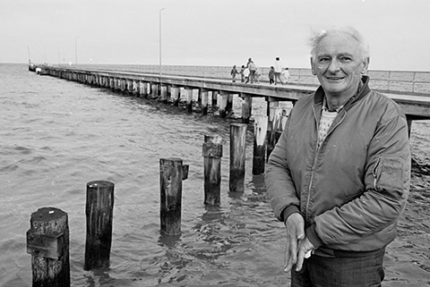
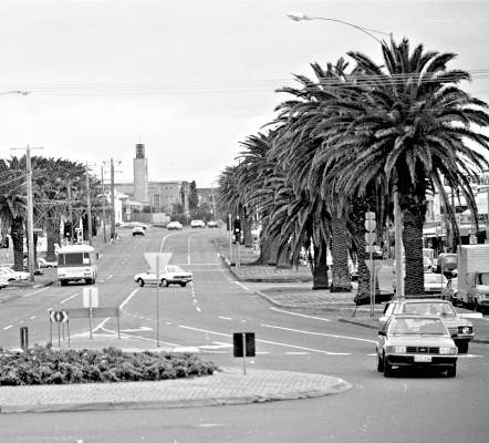
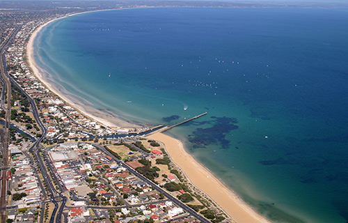
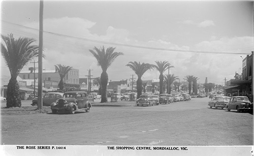
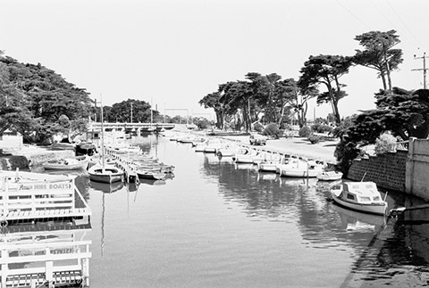
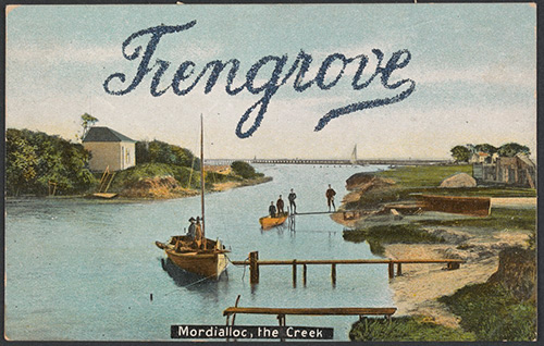
‘Mordi’, as you might know it, is a lovely Kingston suburb popular for anybody that enjoys a good beach. You’ll find boats moored along the Mordialloc Creek, fisherman with their lines out over the Mordialloc Pier and cyclists fighting the wind down Beach road. Just a stone throw from this find the Main street with palm trees breaking up cafes and shops.
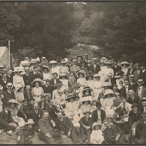
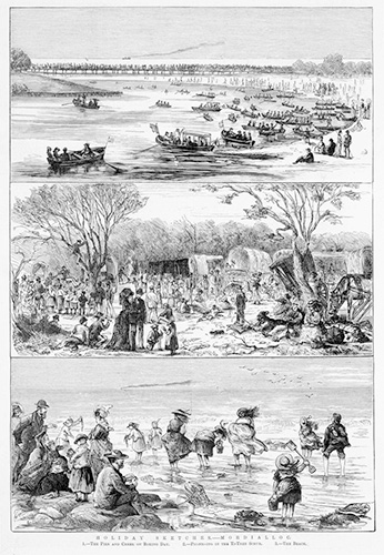
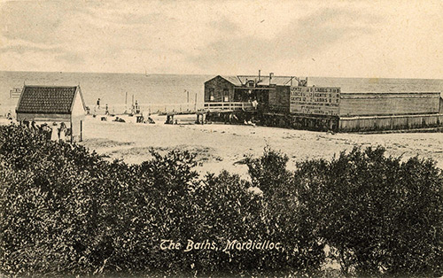
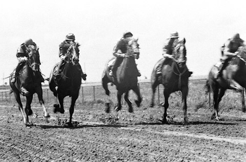
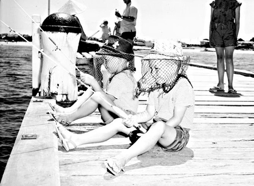
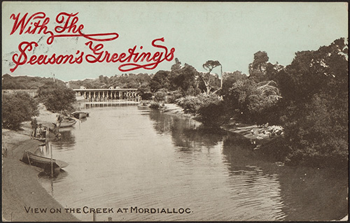
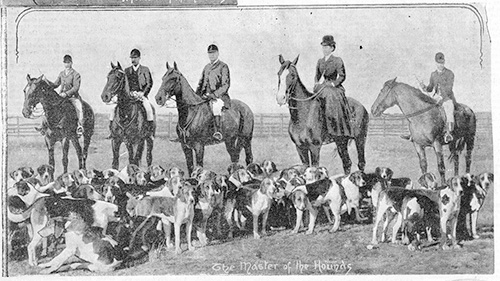
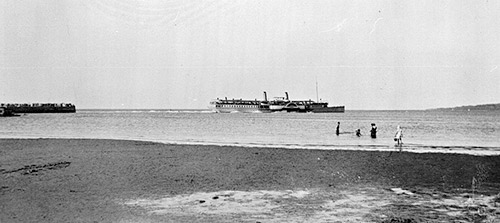
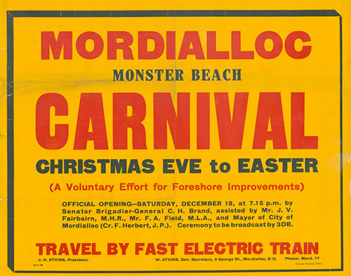
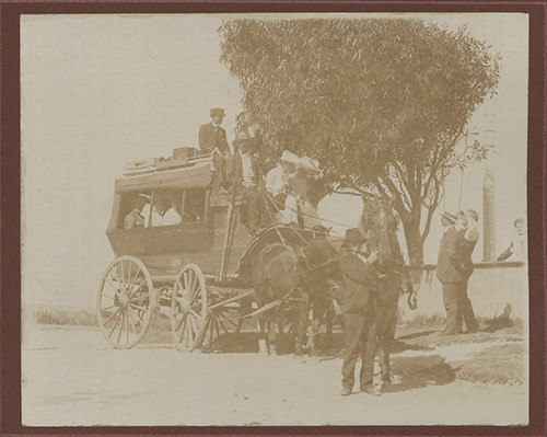
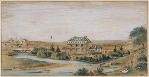
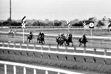
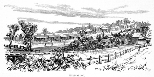
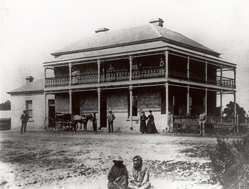
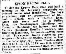
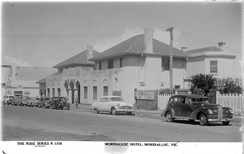
A major supplier of fish for Melbourne, Mordialloc was known as a fishing village. Park Street had rows of houses which were all occupied by Scottish fishermen. From the 1870s Mordialloc became a popular holiday spot. Steam Paddlers would take passengers from Port Melbourne all the way to the Mornington Peninsula. It was known as a great place for a picnic many heading down in their house drawn vehicles before the advent of trains. The Melbourne Hunt Club and the Findon Harriers (from Mill Park) held fox hunts. Hunting for duck and snipe (a type of wading bird) was also popular in Mordialloc. But unfortunately for hunters, there was also lots of snakes on the banks of the creek too. Race horses, jockeys and trainers were a popular sight in Mordialloc right up until the 1990s.
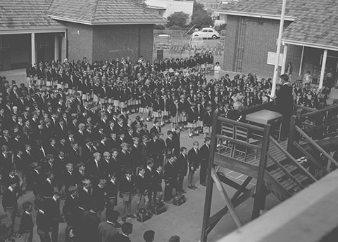
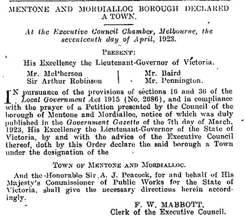
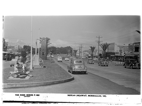
Mordialloc is now a residential suburb with a shopping strip along the Nepean Highway. The population grew in the mid 1990s with lots of new houses built between 2001 and 2006.
Paddle on over to these Mordialloc quick facts:
- Mordialloc is 25 km from Melbourne and has an area of 4.4 km².
- Mordialloc – Braeside is bounded by Lower Dandenong Road in the north, Springvale Road in the east, Governor Road, the suburb of Waterways and Mordialloc Creek in the south, and Port Phillip Bay, Bay Street, Como Parade West, White Street and Warren Road in the west.
- The State electorate for Mordialloc is the Mordialloc District.
- The Federal electorate for Mordialloc is the Division of Isaacs.
- You can also visit the Mordialloc Historical Walking Trail.
Discover more of this seaside suburb by clicking on the tabs above.