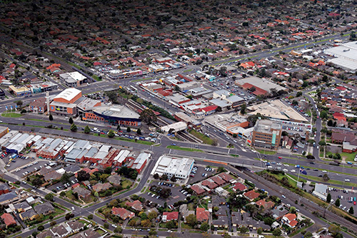
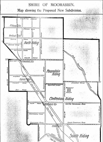
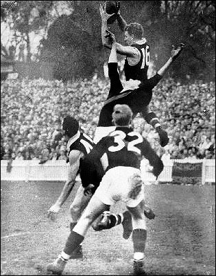
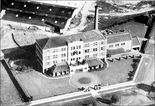
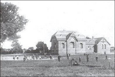
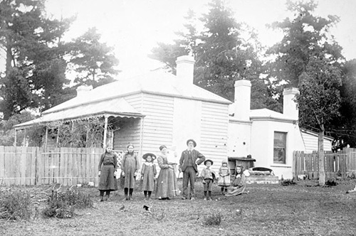
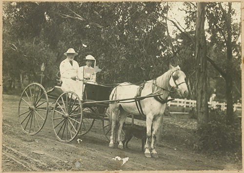
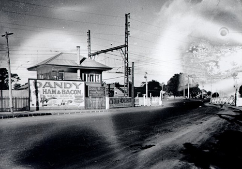
Moorabbin was settled by the King Brothers, John and Richard, in 1846. It would grow to be one of the most diverse suburbs in Kingston. For a long time Moorabbin produced most of the fruit, vegetables and poultry for the whole of Melbourne. Moorabbin East was an industrial area with companies like Phillip Morris, Schweppes and Coca-Cola setting up on the sandy soil. Between 1947-1954 the population more than doubled, reaching 65,000. Moorabbin became one of the fastest growing cities in Australia in the 1950’s.
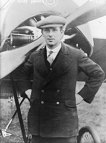
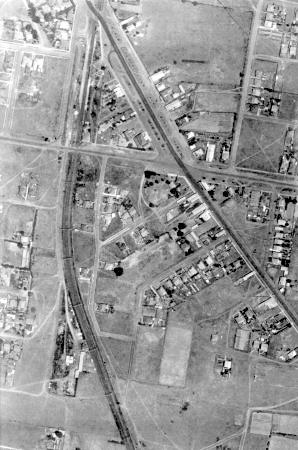
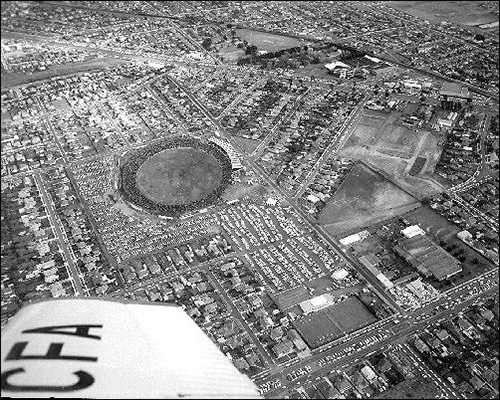
Moorabbin’s flat ground was also good for airfields. Moorabbin Airport opened in December 1949 and in 1989 was renamed Moorabbin (Harry Hawker) Airport, after pioneering Australian aviator Harry George Hawker. It became Melbourne’s second general airport and during the 1960s was the busiest airport in Australia, with high numbers of small and medium-sized planes. Moorabbin Airport is home to the Australian National Aviation Museum.
Some Moorabbin quick facts have landed below:
- The boundaries of Moorabbin are South Road in the North, Warrigal Road in the East, Keys Road and Wickham Road in the South, with the Frankston Railway line and the Nepean Highway in the West.
- Moorabbin has an area of 4.6 Kilometres squared.
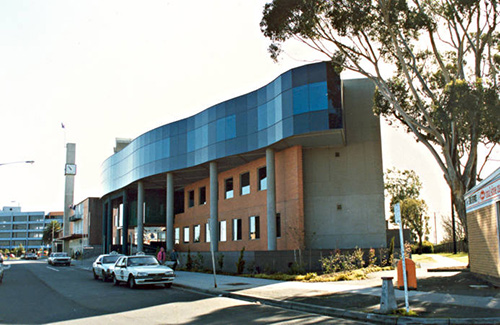
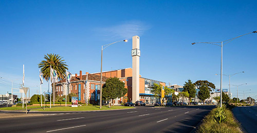
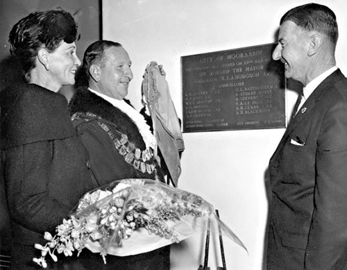
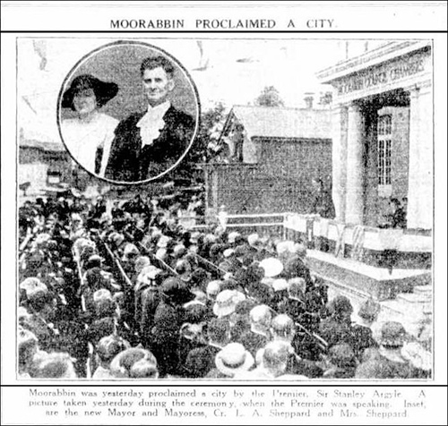
- Moorabbin was a Municipality, (a City) between 1871-1994.
- The State electorate for Moorabbin is the Bentleigh District.
- The Federal electorate is the Hotham Division.
Click above to discover more about this diverse suburb.