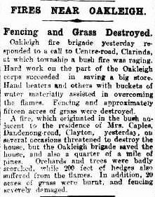
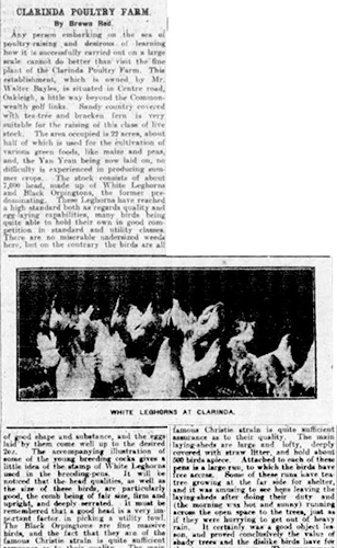
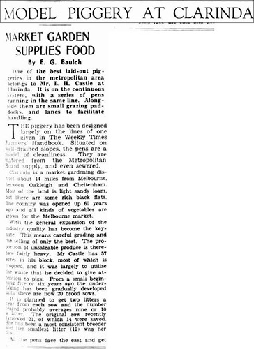
Clarinda was settled before Clayton South, having a Church that opened in 1886. Clarinda is a mostly residential area with a multicultural population – more than 50% speak a language other than English. Clarinda’s once active sand quarries are now used for waste disposal and recycling – don’t mistake these things as bad or particularly yucky! It’s absolutely necessary for these facilities to exist for us to enjoy our way of life. I’m sure you can think of a great variety of reasons why. The southern area of Clarinda is quite the opposite as it’s used for horticulture, which is the growing of flowers and vegetables.
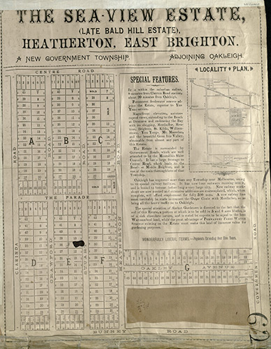
The land was heathland until it was settled (heathland being a wild area with plants shorter than 2 metres, so mainly shrubs and short trees). After that, Clarinda was mainly market gardens up until the 1950s, when more housing began to be built. It was 1970 when the Enterprise Migrant Centre opened in Springvale. It was a hostel that welcomed migrants from all over the world. Immigrants would stay 6-12 months and many of these people moved into the local area, developing the rich cultural mix that exists today. The Spirit of Enterprise Website.
Check out these key facts about Clarinda:
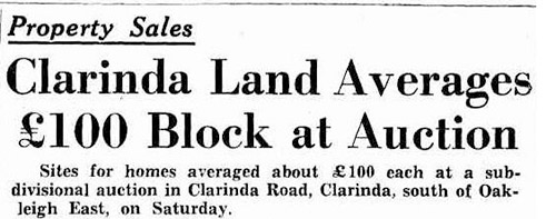
- Clarinda has an area of 4 km² and is bounded by Centre Road on the North, Springs Road, Bourke Road and Clayton Road in the East, Dingley Bypass on the South and Clarinda Road in the West.
- Clarinda is 19 kilometers south east of Melbourne.
- The State electorate for Clarinda is the Clarinda District.
- The Federal electorate for Clarinda is the Hotham Division.
Discover more about Clarinda by clicking on the tabs above.