Welcome!

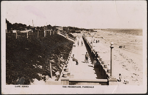
The coastal land of Parkdale was covered in dense Ti-Tree before becoming a Market Garden area. Parkdale is mainly a residential suburb. For years it was separated between Mordialloc and Mentone. On the 1st July 1999, Parkdale legally became a separate suburb, absorbing a lot of Mentone East.

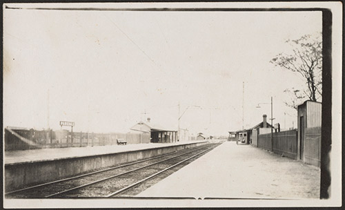
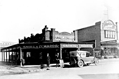
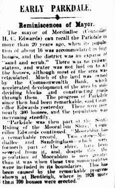
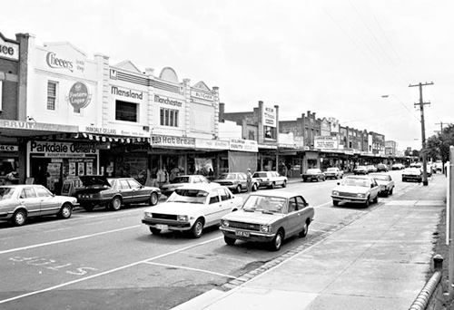
More and more people started to call Parkdale home after 1920 when the railway station opened. If you’ve wandered down to the cafes in Como Parade next to Parkdale station, try imagining only 5 small shops. That’s what it was like in 1928. By 1933, 20 others had popped up. Add another 80 years and you’ve got the flourishing, active Parkdale that we see today – quite a bit different Parkdale than what William Parker would’ve seen when he looked out over his veranda!

A couple Parkdale quick facts:

  • Parkdale is a beach suburb located 23 km south east of Melbourne.
  • Parkdale has an area of 3.6 km² and is bounded by Nepean Highway, Olive Grove and Lower Dandenong Road in the North; Warren Road in the East; White Street, Como Parade West, Royal Parade, Bay Street and Port Phillip Bay in the South; and Warrigal Road in the West.
  • The State electorate for Parkdale is the Mordialloc District.
  • The Federal electorate for Parkdale is the Division of Isaacs.

Click on the links above to discover more about this great suburb.
Name origins

Just under 200 years ago, a man named William Parker trekked 23kms from Melbourne to a spot covered in dense coastal trees and shrubs. He and other early settlers would’ve set up their homestead, cleared this space and bit by bit, carved paths and tracks around their farmland that would become the streets and roads we use to navigate Parkdale today. If you pass by the Woodlands Golf Course, you’re also passing by what would’ve been some of Parker’s 314 acres of land.

It should be said Parkdale was close to being called something else entirely; Rosella, Dover, Dobie, Balrook (the Aboriginal word for Heath) and Bowong (the aboriginal word for wild current) were all suggested as names for the new Railway Station. One councillor suggested Bowyangs after the strings that hold market gardeners trousers to their legs. That ideas was laughed out of council. Parker was considered to be a good Australian name and forwarded that name with Bowong to the Railway Department. The Railway Department kept William Parker in mind when and named the station Parkdale, the name we know today.

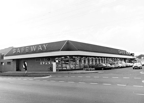
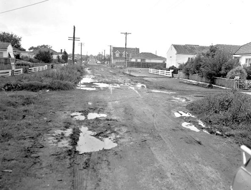
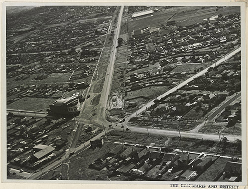
Nepean Highway, Warrigal Road intersection c. 1951 Image courtesy State Library of Victoria.

Population

Before 1999, Parkdale was included as part of Mentone and Mordialloc's statistics.

  • Census DatePopulation
  • 200110,024
  • 200610,618
  • 201111,185
  • 201611,753